Engineering-grade mapping,
delivered in
days, not months.
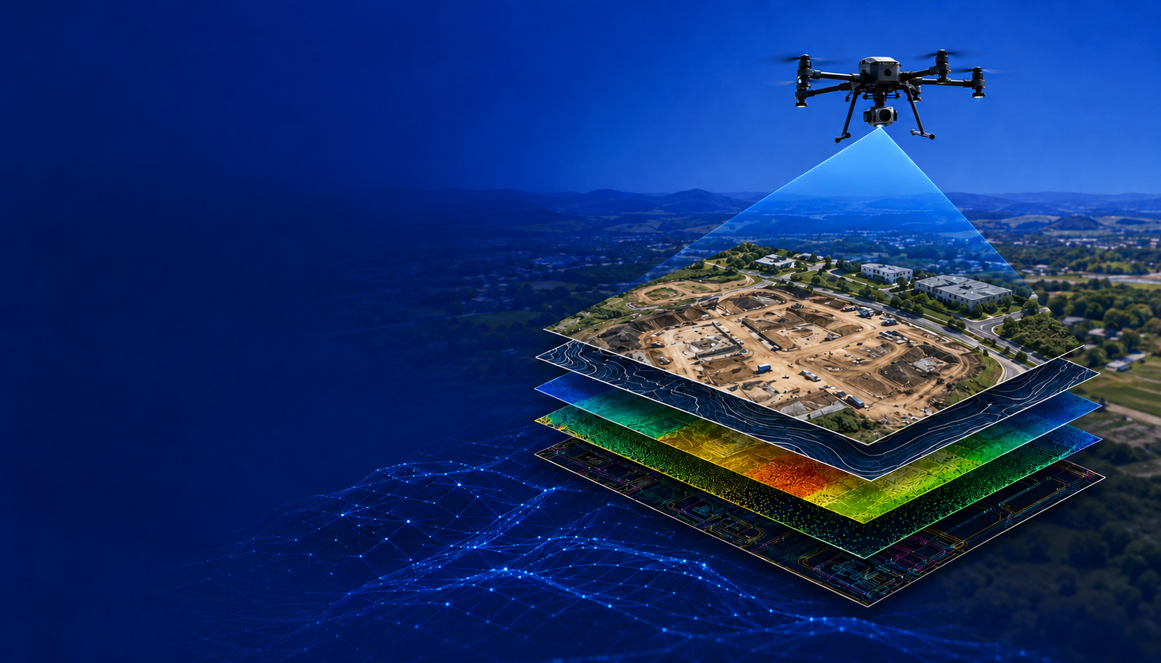
Sky Shot turns dense tree canopy, sprawling utility corridors, and hard-to-reach infrastructure into CAD-ready surfaces, point clouds, and orthophotography your engineering team can design from immediately.
What we fly, scan,
and deliver
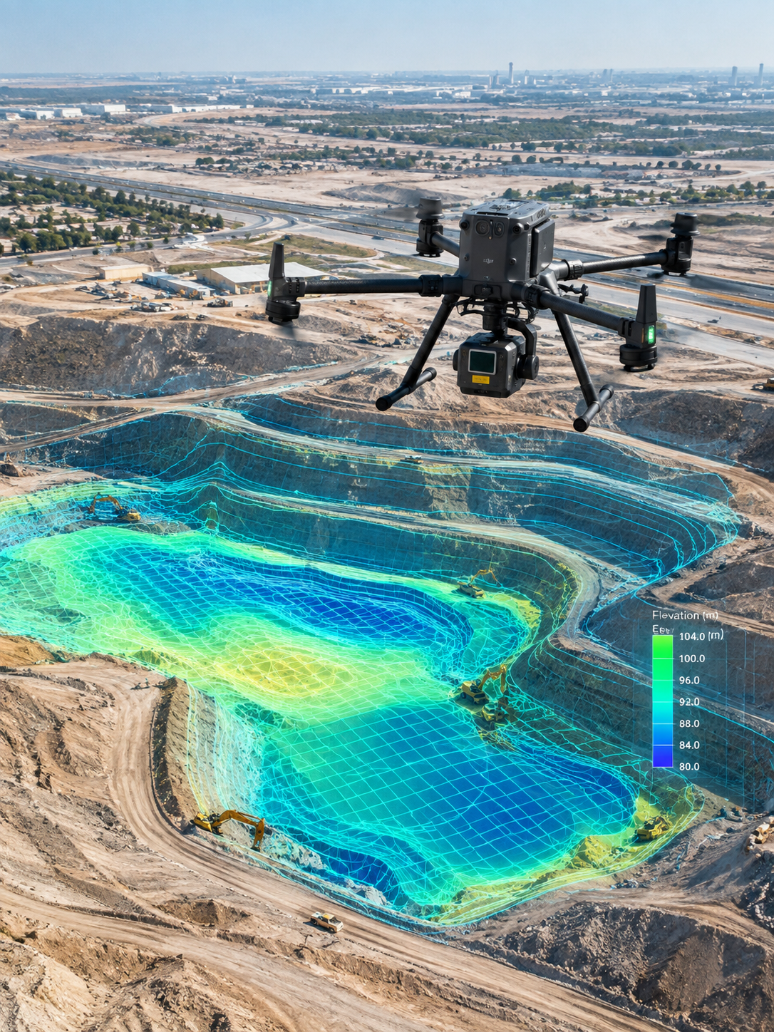
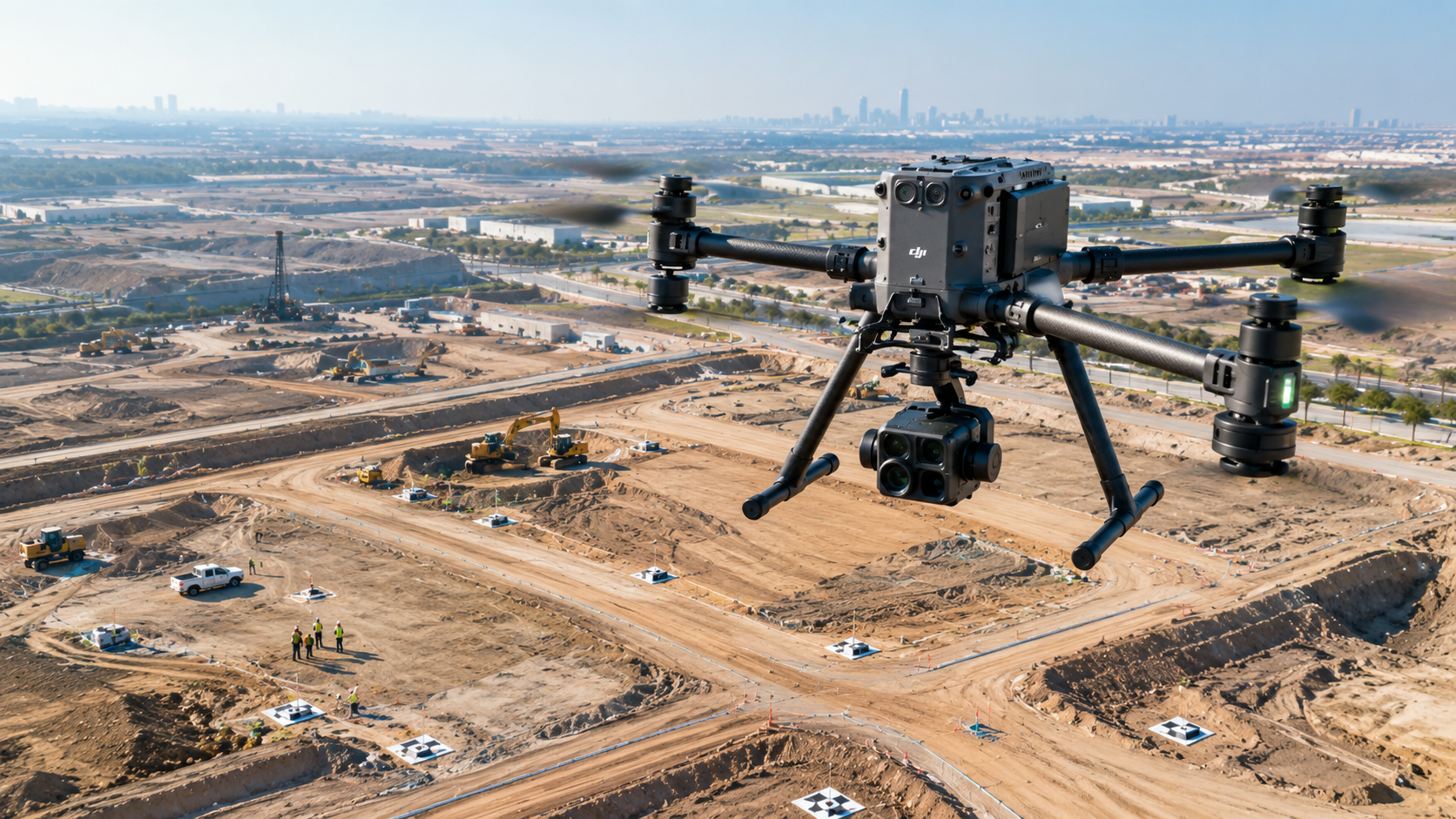
Photogrammetry Mapping
High-resolution aerial imagery processed into orthophotos, existing-conditions datasets, and CAD-ready geospatial deliverables.
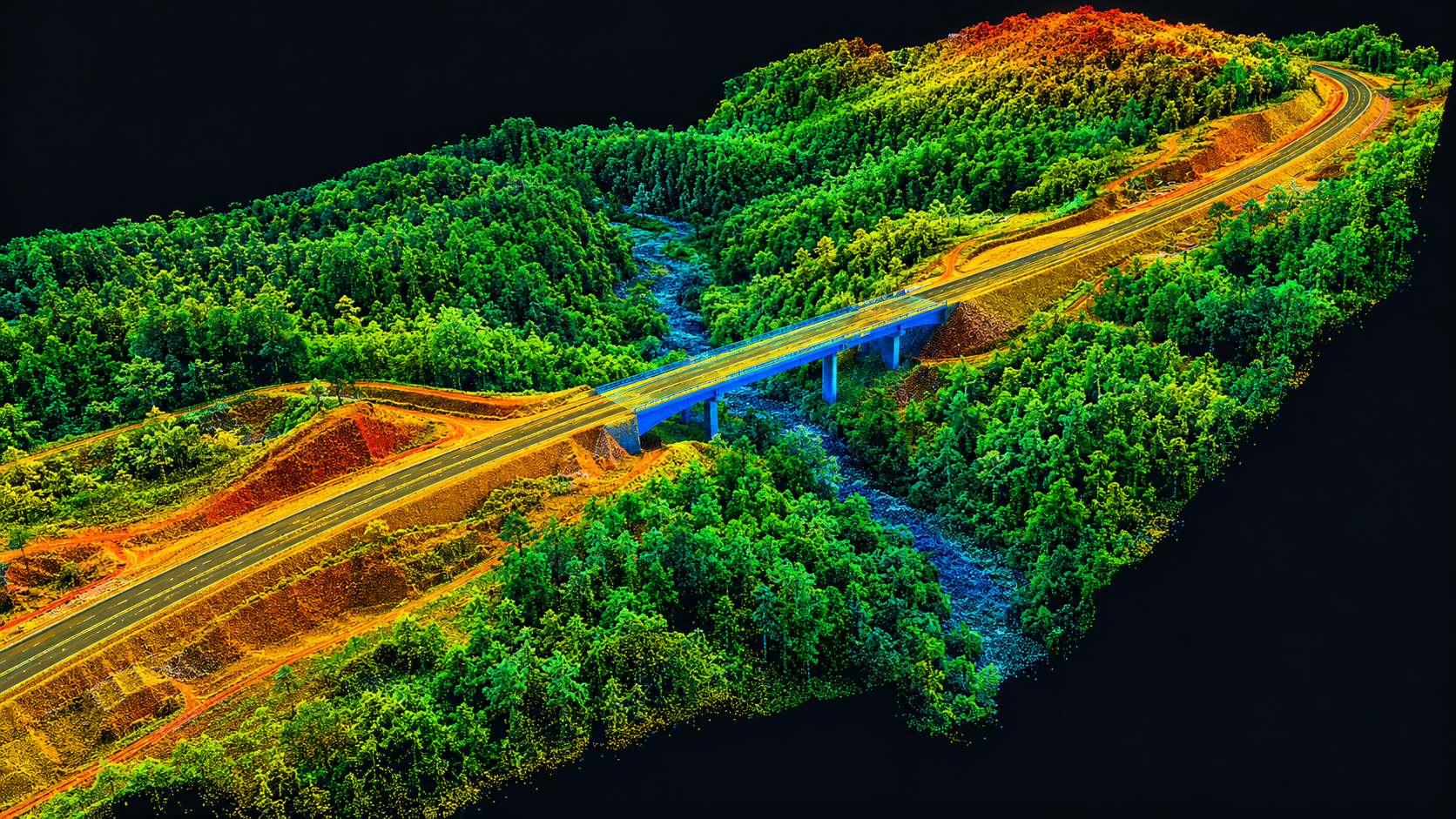

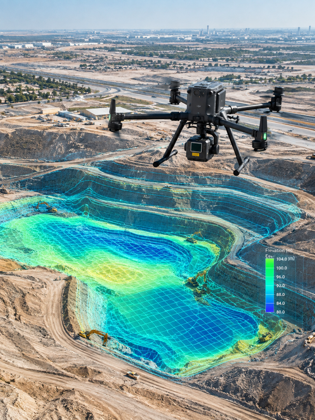
LiDAR Scanning & Surface Modeling
High-density LiDAR scanning and surface modeling for high-accuracy terrain analysis.


Feature Extraction & Asset Mapping
High-resolution drone data processed into visible feature inventories and infrastructure mapping.
Built for schedules
engineers actually
have
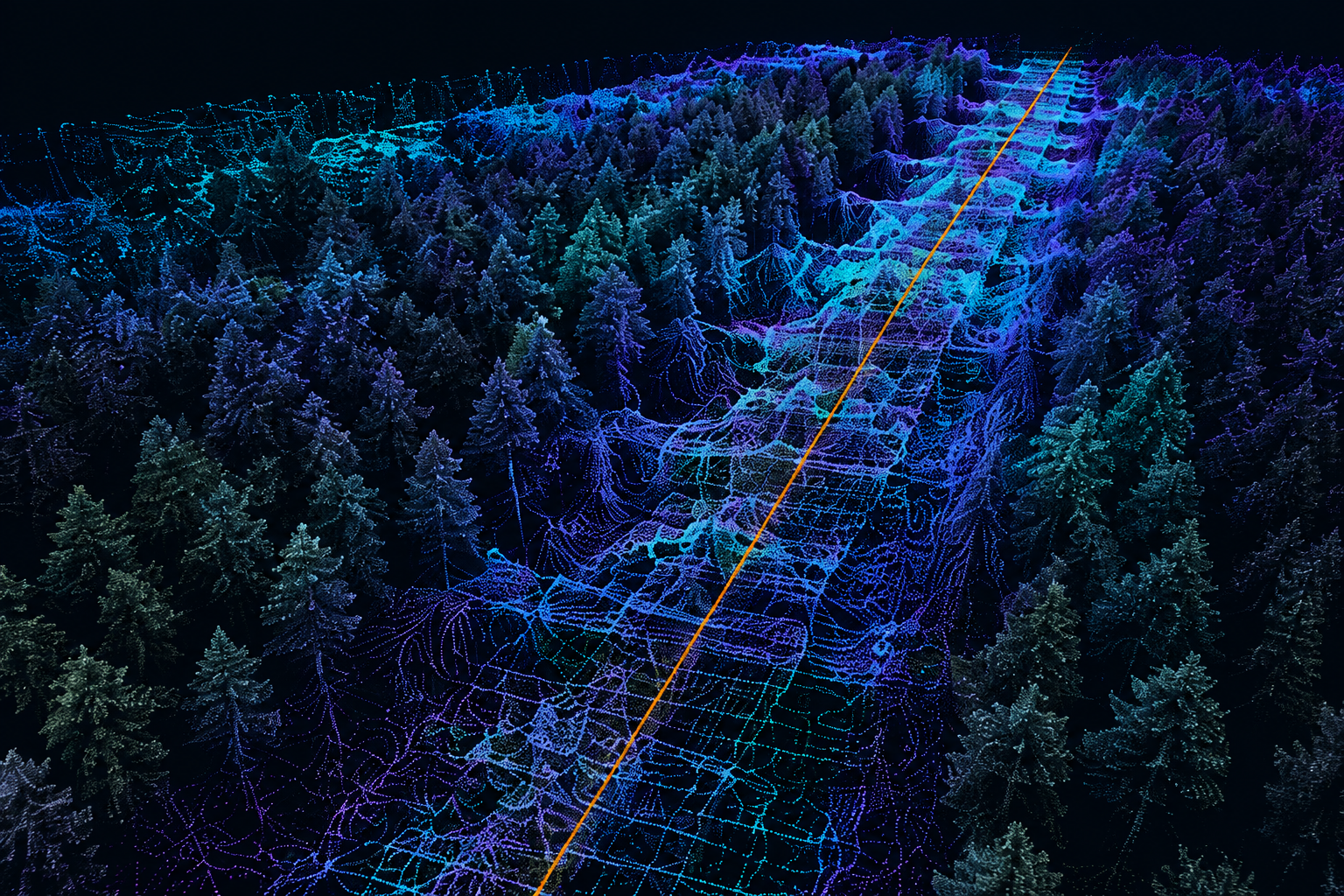
Regional sewer corridor under 50% tree canopy
Several miles of proposed sewer alignment, engineering-grade LiDAR penetrating dense canopy.
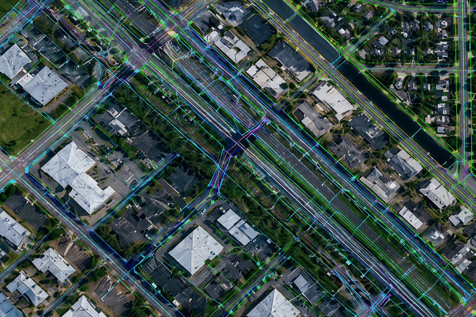
200+ acres of infrastructure
Utility features mapped and delivered as Civil 3D drawing.
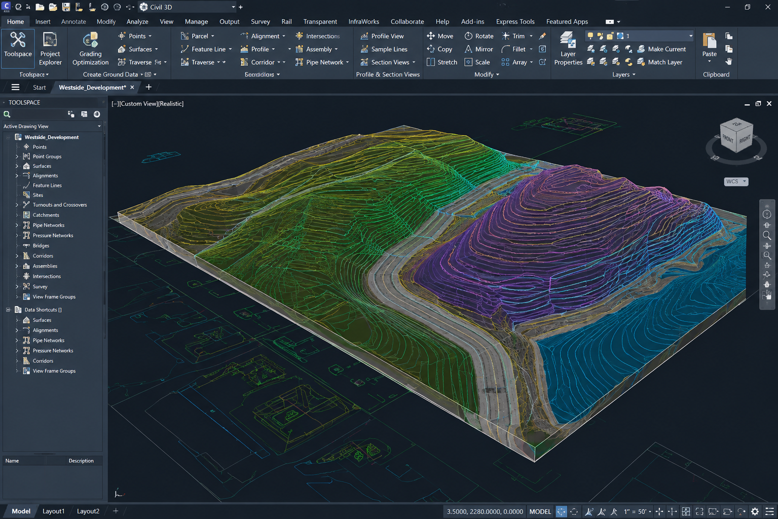
18 facilities mapped
Statewide data capture in a single coordinated week.
From flight to
design-ready file
Boots on the
ground, eyes in
the sky
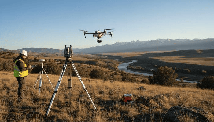
Every aerial dataset begins on the ground. Our certified flight crews and survey technicians mobilize directly to your site, pairing real-time geodetic RTK control with autonomous enterprise flight to capture reality with sub-centimeter precision.